
The Mast Trail is just one of the many incredible hiking opportunities within the expansive 79 square kilometres of land that is Rouge National Urban Park.
The five-kilometre loop trail leads from the Glen Rouge Campground to the head of the Vista and Orchard trails at Twyn Rivers Drive and follows the path of what used to be an old logging route in the 1800s.
The five-kilometre trail leads from the Glen Rouge Campground to the head of Vista and Orchard trails.
The straight white pines in the area, which made perfect masts for ships, were cut and sent floating down the river toward Lake Ontario, eventually making their way to various European shipyards.
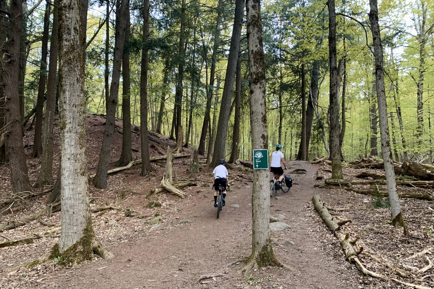
The trail comes well-marked and provides plenty of smaller side trails to explore off the main pathway.
Today the area is home to a rare Carolinian forest, with those same skinny pines that were so sought after 200 years ago still dominating the landscape.
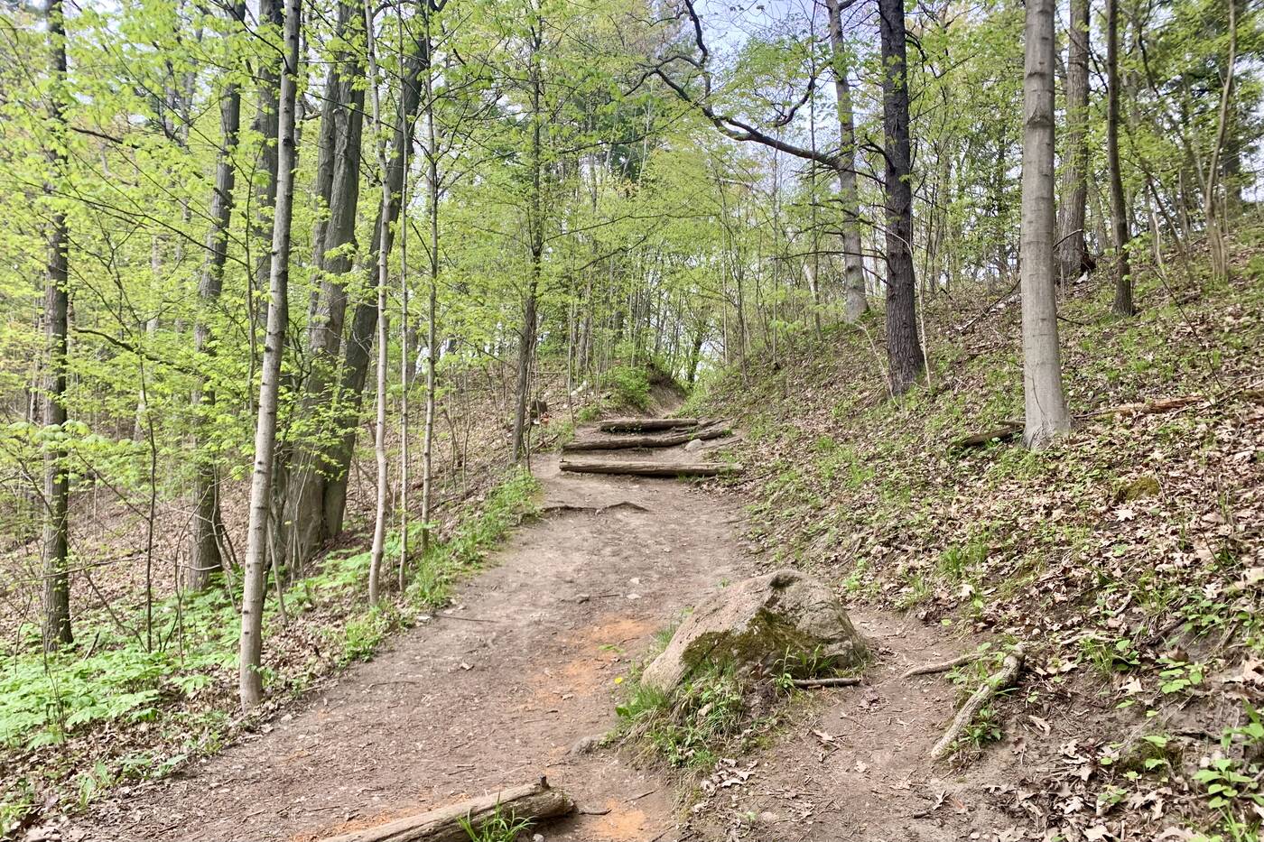
There are a few log steps through the area to help you traverse the steeper sections.
During the often steep ascent, sets of natural staircases have been created from roots and old logs will help you on your way.
Side trails lead over Little Rouge Creek as the path winds through the rare Carolinian forest.
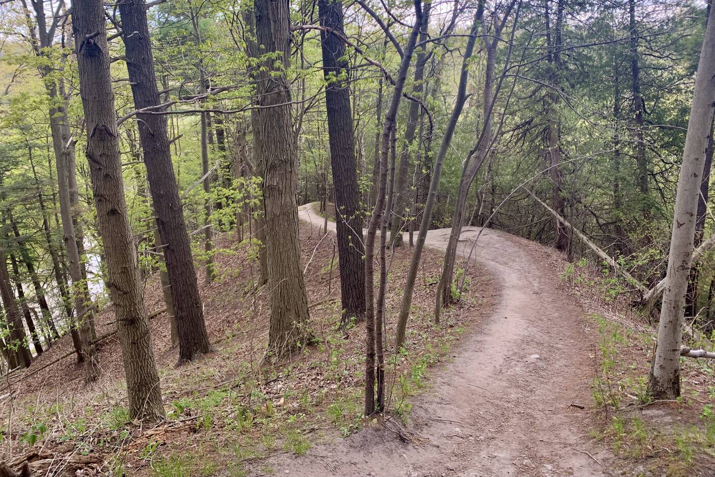
The pathway ascends high above Little Rouge Creek and provides plenty of side trails to explore to keep the hike interesting. They come easy-to-navigate and all eventually connect back to the main trail.
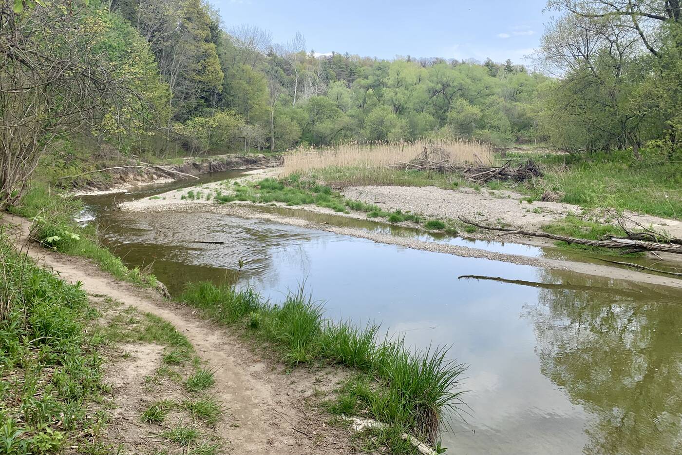
There are a few different access points down to the water where you can cool off and take in the views.
Breaking away from the main trail along the walk will reward you with access points down to the river where you can take in some killer views.
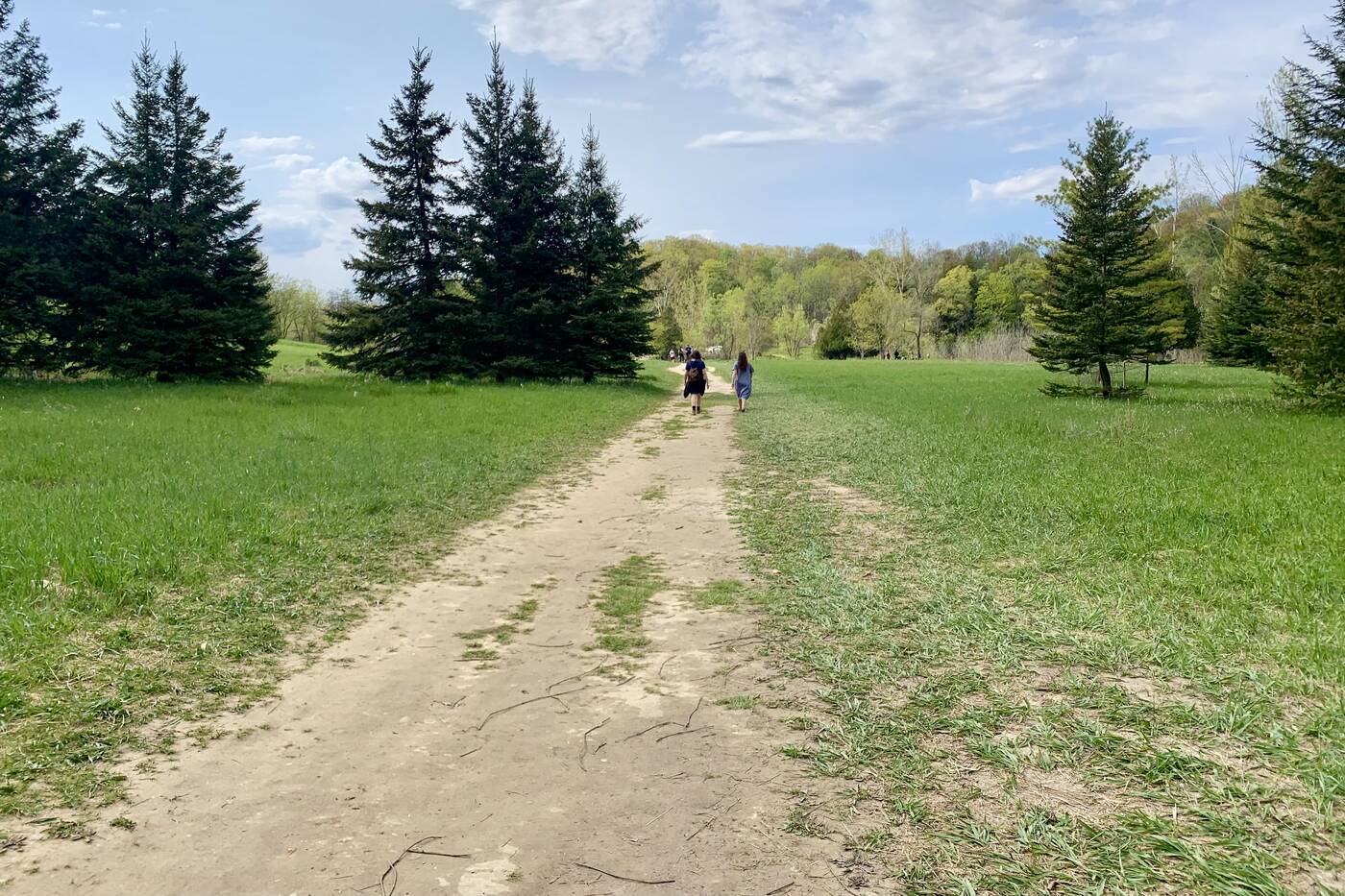
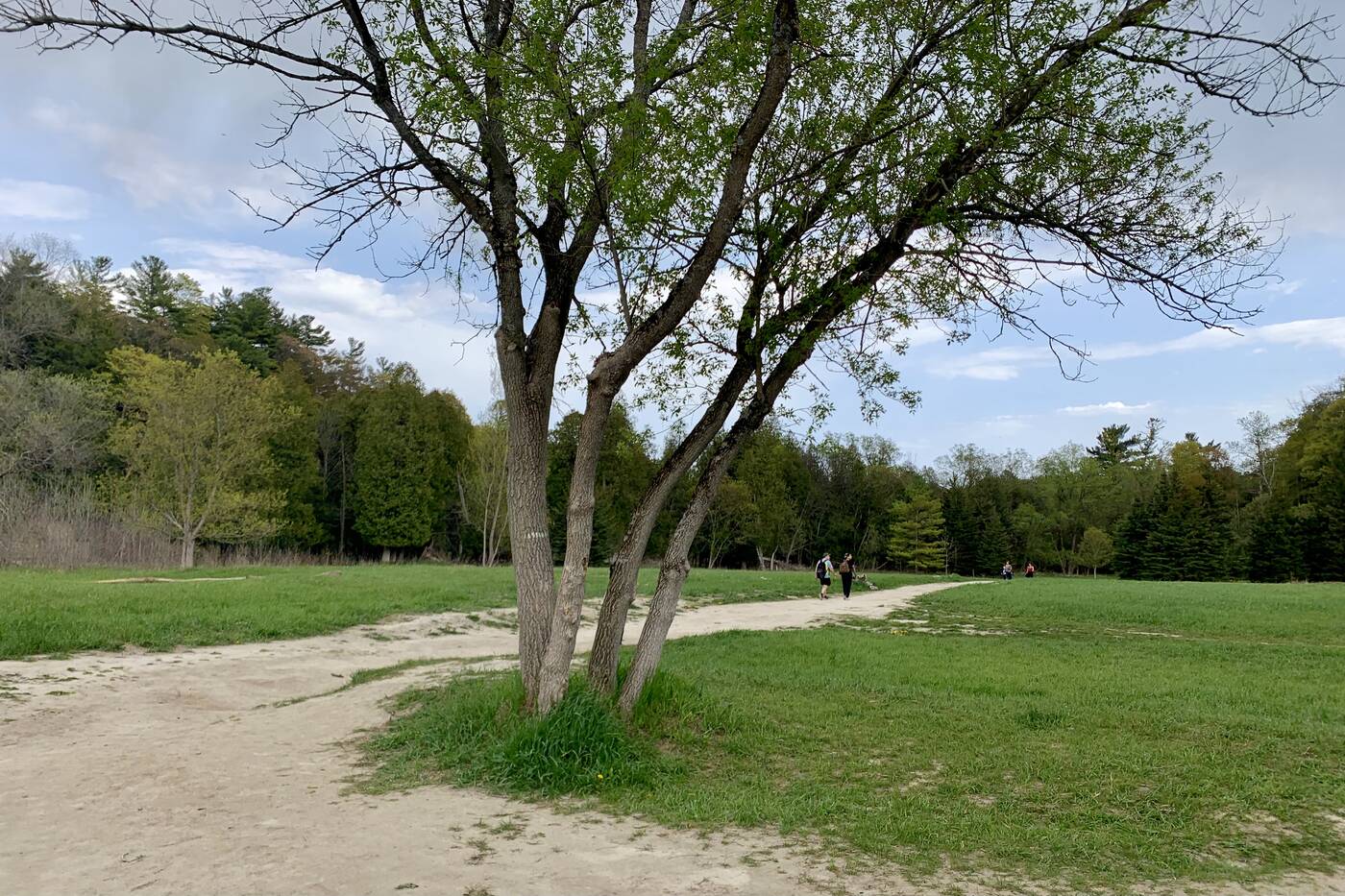
The trail features both a dense forest landscape, as well as an open meadow.
Closer toward Twyn Rivers Drive, near a free parking lot, the terrain changes slightly, going from a deep and shady forest to a wide open meadow.
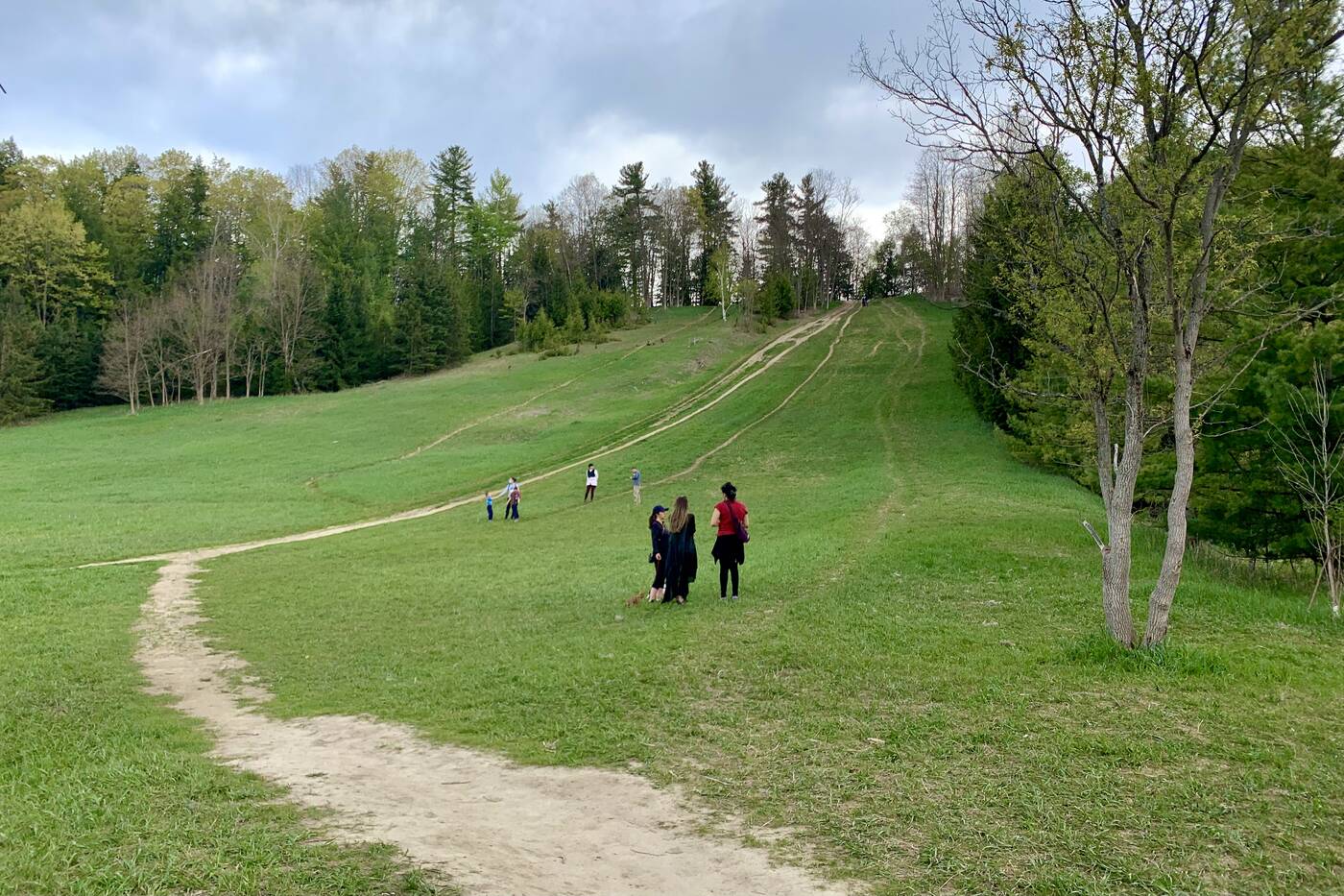
The steep hill is there from when there used to an old ski lift in the area in the 1950s.
A steep and slightly daunting hill is reminiscent of the Caper Valley Ski Hill that used to be here. The old ski hill had a lift and chalet back in the 1950s when it was among just a handful of spots, like Earl Bales Park, offering urban skiing.
More energetic hikers can take on the steep ascent up the hill while others stick to flat ground.
It's still clear of trees and provides a cardio burst to anyone passing through who's up to the challenge. Just don't expect to find much at the top of the hill beyond an old concrete block that used to support the lift.
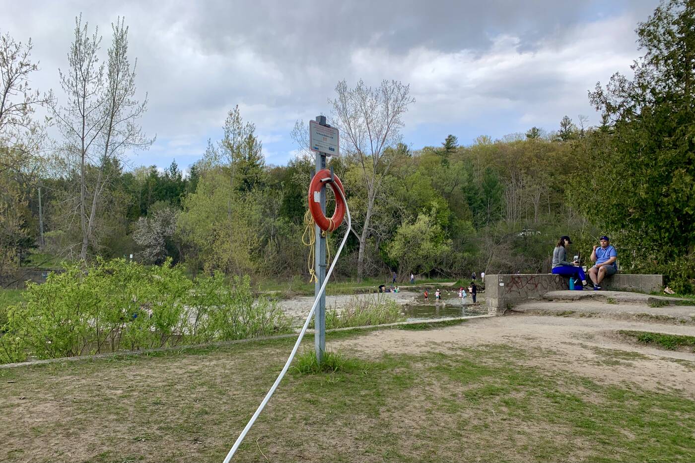
The foundations of a former dam sit at the corner of the river.
If you're looking for a more leisurely route, the better option would be to cool down near Little Rouge Creek. The foundations of a former dam still sit at the edge of the riverbank, making for the perfect picnic spot.
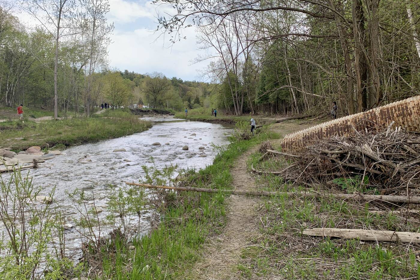
A trail leading beside the river will provide further opportunities for good picnic spots.
But if that spot is already taken, anywhere along the steadily flowing creek will do.
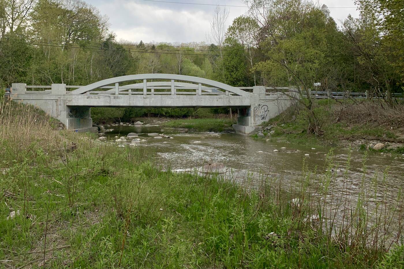
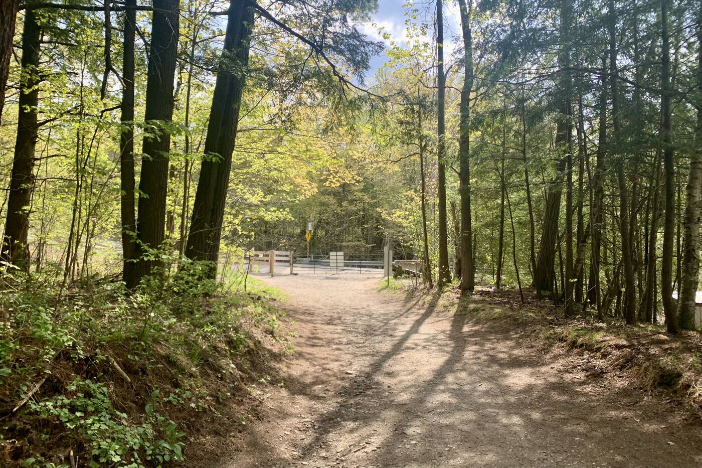
A white arched bridge is at Twyn Rivers Drive.
There's a white arched bridge at Twyn Rivers Drive that's named after the twin rivers of the Rouge and its lesser-known counterpart, the Little Rouge Creek, that runs through this section of the valley.
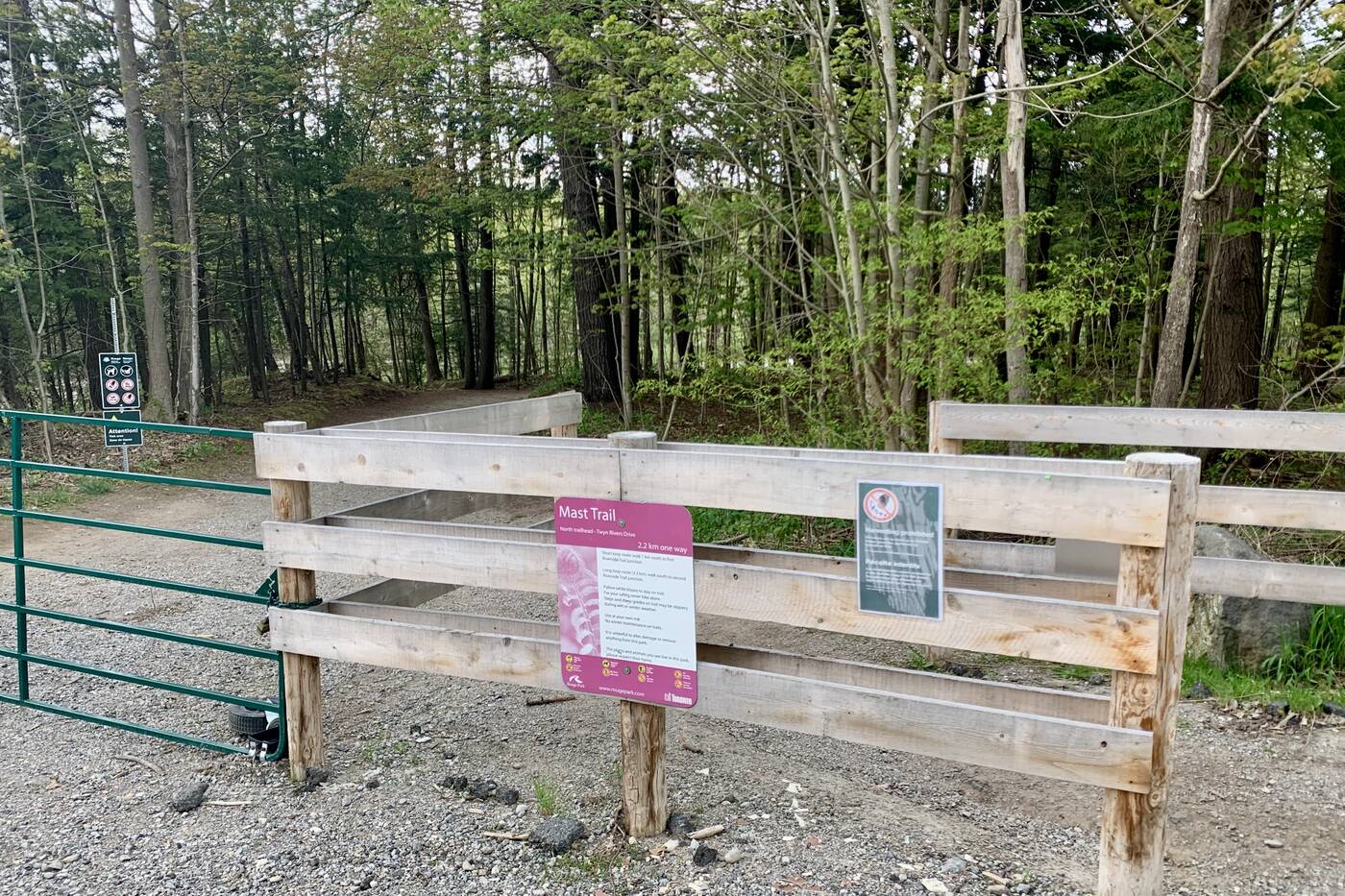
A sign and wooden fence at the northern section of the trail mark the end/beginning of your hike.
The scenic roadway marks the end of the trail. Further explorations will bring you to a two-level observation tower further along on the Vista Trail and to some abandoned ruins of an old mill.


0 comments:
Post a Comment