Most of the land that currently exists below Front Street is the result of landfill. In the early 1920s, the Toronto Harbour Commission made good on a plan hatched years before to fill in a portion of the harbour, which eventually gave rise to Lake Shore Boulevard.
Subsequent projects dating as late as the 1950s extended the city even further south into the lake.
For my money, the most interesting way to track this expansion of the city is via the relationship of the Harbour Commission Building to the shoreline. When it was built in 1917, it sat right on the water. Today it's more than half a kilometre away.
Check out these historical photos that show was Toronto was like before and after they filled in the harbour.
Before the filled in the harbour
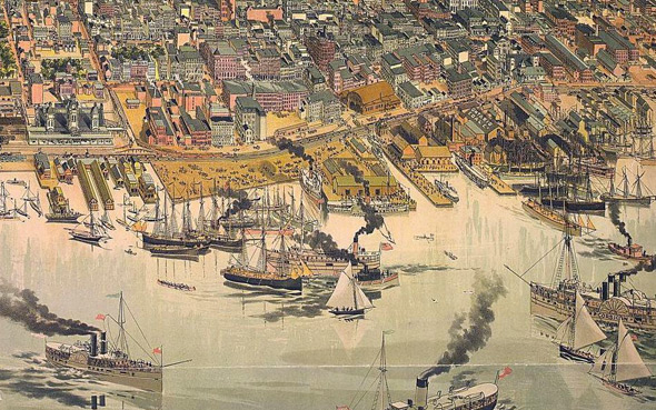
The harbour in 1883
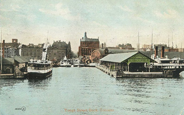
Yonge Street Dock 1906
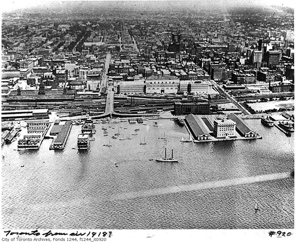
Aerial of the waterfront in 1918
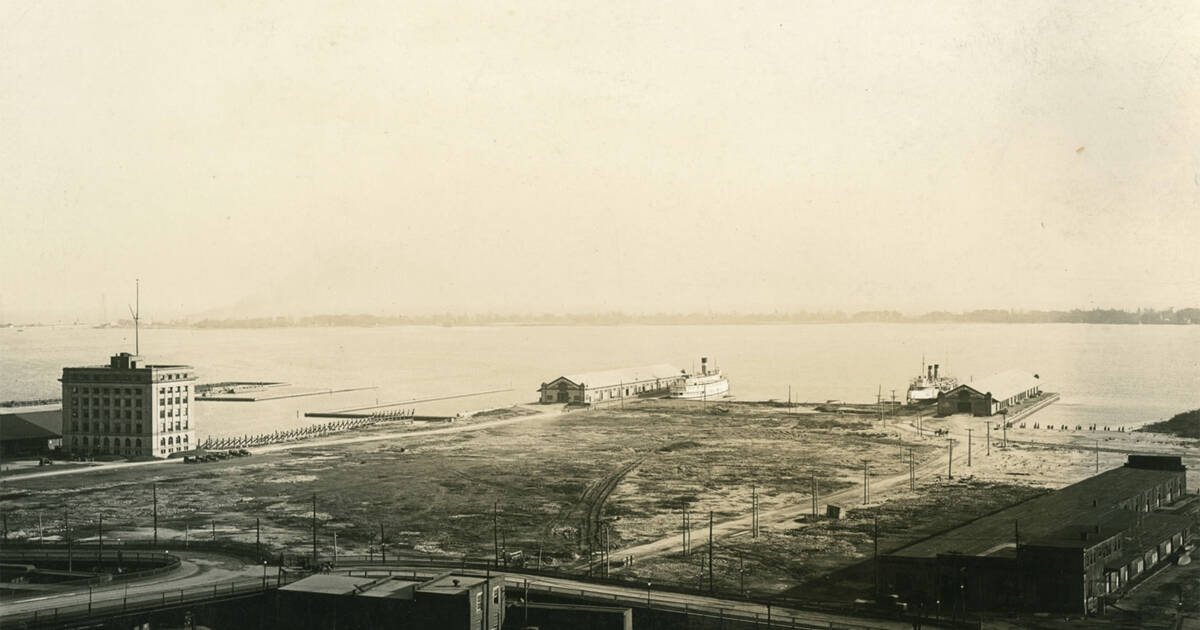
Harbour Commission Building 1920
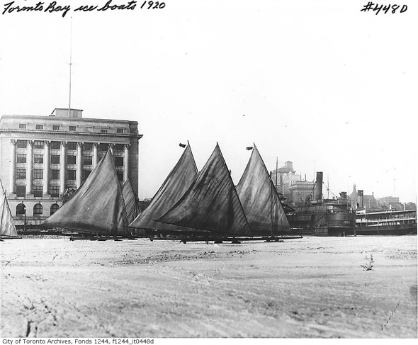
Harbour Commission Building 1920s
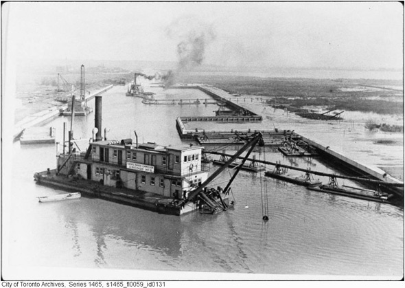
Dredging the Lake
After they filled in the harbour
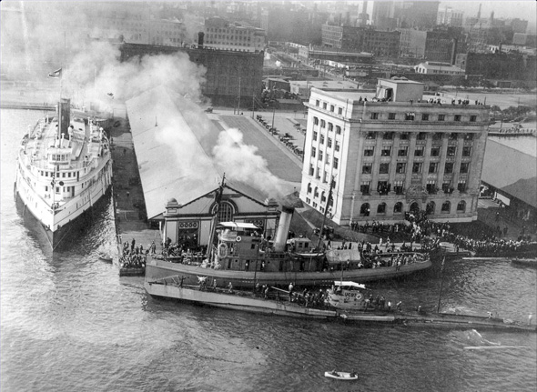
Harbour 1920s
Harbour 1926, post-infill
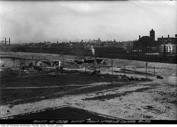
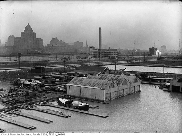
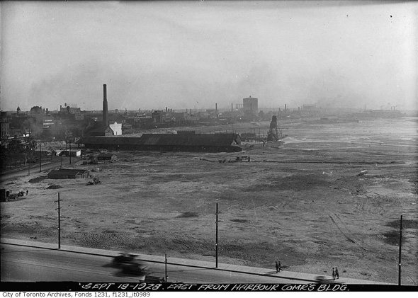
Harbour area in 1928
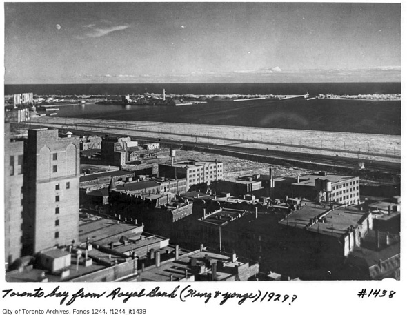
The waterfront from the Royal Bank 1929
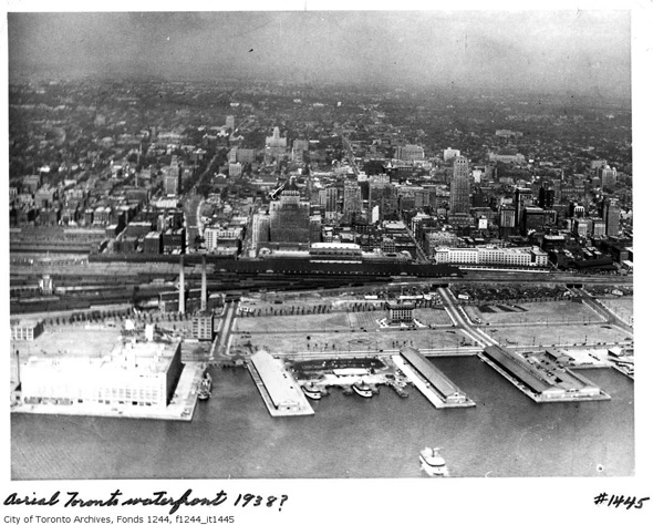
Waterfront aerial 1938
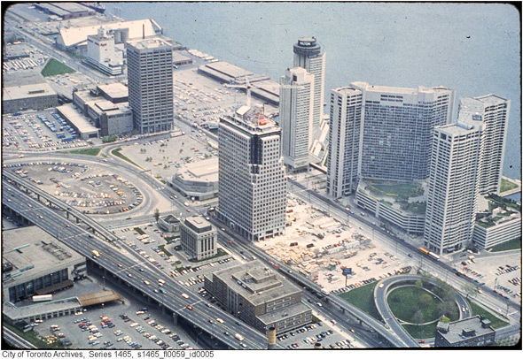
Harbour Commission Building 1980s
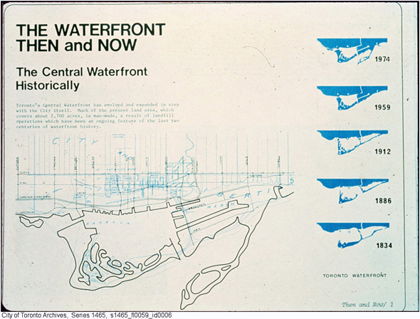
The changing harbour


0 comments:
Post a Comment